Crag info
26
routes
125
ascents
About
Cubero ha realizado un gran trabajo de equipación, al igual que los compañeros del GM ORZA
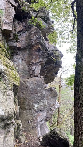
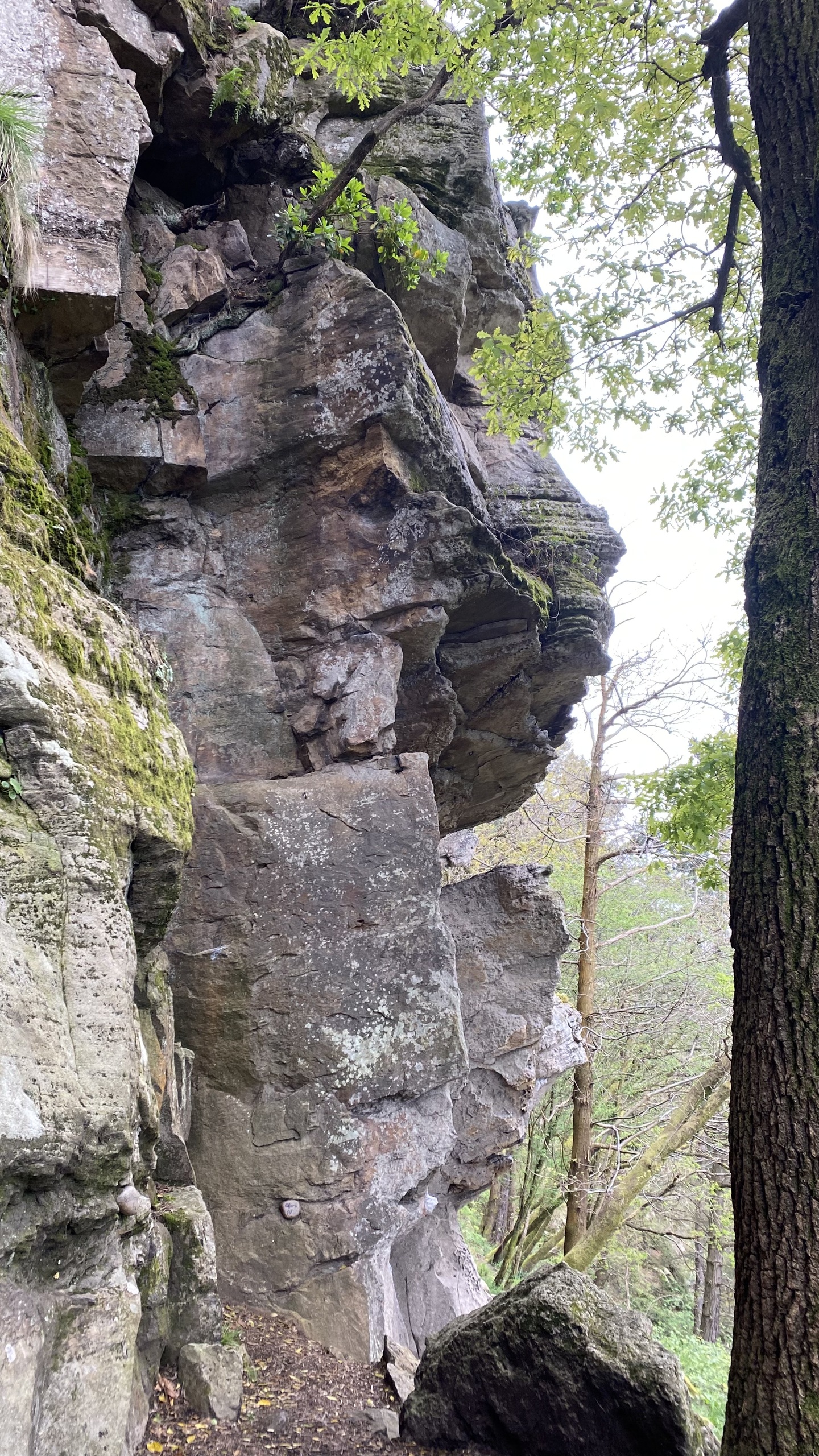
El reino del sexto grado. Escuela de arenisca que discurre sobre cantos generosos y romos en un entorno muy bonito.
Los grados de todas las vías están indicados bajo cada una de ellas.
Además hay varias vías de autoprotección realmente buenas.
https://gmaltai.com/Documentos/croquis_Somahoz.pdf
Access